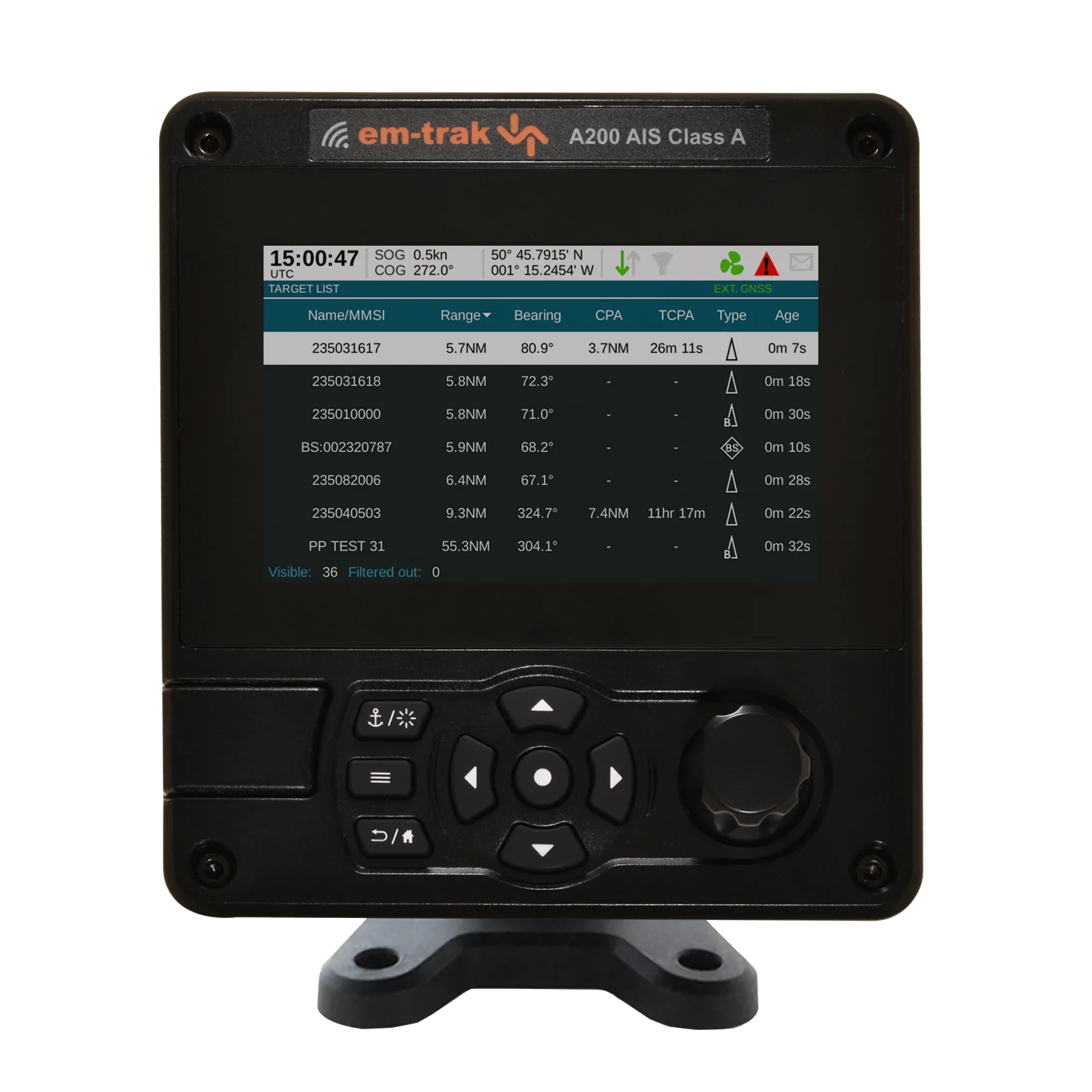
Sale!
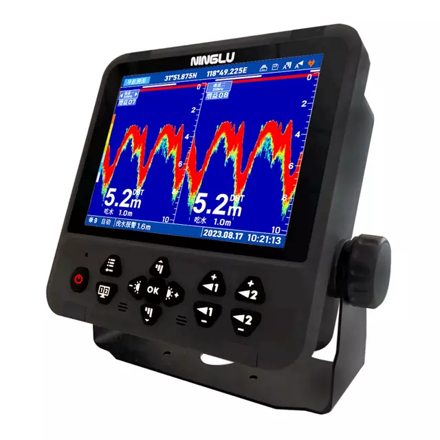
Echosounder
Sale!
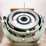
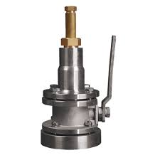
Gyro Repeater
Sale!
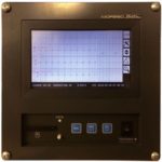
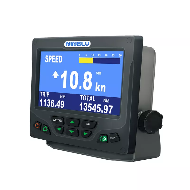
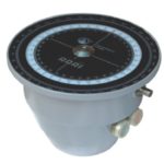
Course Recorder
Sale!
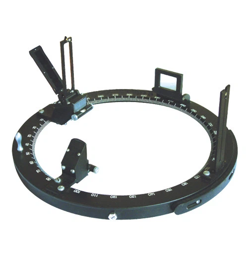
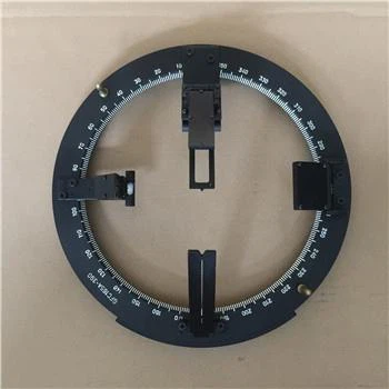
Gyro Repeater
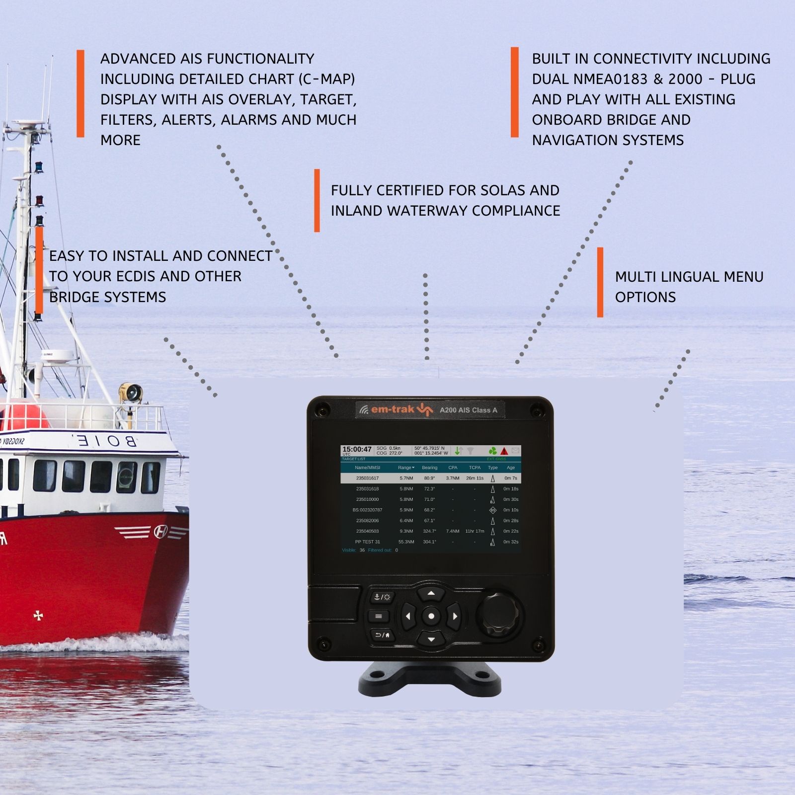
GPS Chart Plotters are essential tools in modern marine navigation, combining GPS technology with electronic chart displays to provide accurate positioning and navigation information. These devices enhance the safety and efficiency of maritime travel by offering real-time data on a vessel’s location, speed, and course.
GPS Chart Plotters integrate Global Positioning System (GPS) data with digital nautical charts. They display a vessel’s position on these charts, allowing navigators to plot courses, mark waypoints, and avoid hazards. This combination of GPS and electronic charting streamlines navigation and improves situational awareness at sea.
| Question | Answer |
|---|---|
| What is a GPS Chart Plotter? | A GPS Chart Plotter is a device that combines GPS positioning with electronic nautical charts to provide accurate navigation information for marine vessels. |
| How does a GPS Chart Plotter work? | The device receives GPS signals to determine the vessel’s location and displays this position on electronic charts, helping navigators plot courses and avoid hazards. |
| What are the benefits of using a GPS Chart Plotter? | Benefits include accurate positioning, enhanced situational awareness, easier course plotting, and integration with other navigation System for improved safety and efficiency. |
| Can GPS Chart Plotters be used in all types of vessels? | Yes, GPS Chart Plotters are suitable for a wide range of vessels, from small boats to large ships, providing valuable navigation support across different maritime applications. |
| Do GPS Chart Plotters require internet connectivity? | No, GPS Chart Plotters use satellite signals for positioning and do not require internet connectivity to function, although some features may benefit from online updates. |
| How often should the electronic charts be updated? | It is recommended to update electronic charts regularly to ensure they contain the latest navigational information and changes in marine environments. |
| Can a GPS Chart Plotter be integrated with other onboard System? | Yes, many GPS Chart Plotters can integrate with radar, AIS, autopilot, and other navigation System to provide comprehensive navigation and safety support. |
| What is the difference between a GPS Chart Plotter and a standalone GPS device? | A GPS Chart Plotter combines GPS positioning with electronic charts for navigation, whereas a standalone GPS device typically provides only location data without chart integration. |
| Is training required to use a GPS Chart Plotter effectively? | While many GPS Chart Plotters are user-friendly, some training or experience with marine navigation and electronic charting can be beneficial for effective use. |
| How does a GPS Chart Plotter enhance maritime safety? | By providing accurate real-time positioning, detailed charts, and integration with other navigation System, GPS Chart Plotters enhance situational awareness and help avoid navigational hazards. |
GPS Chart Plotters are invaluable tools in modern marine navigation, offering precise location data, detailed electronic charts, and advanced navigation features. They enhance safety, efficiency, and situational awareness for mariners, making them an essential component of any vessel’s navigation suite. Regular updates and proper integration with other onboard System further improve their functionality, ensuring a seamless and safe navigation experience.
Echosounder
Gyro Repeater
Course Recorder
Gyro Repeater
Sale!
Sale!
Sale!
Sale!