Sale!

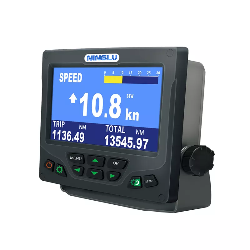
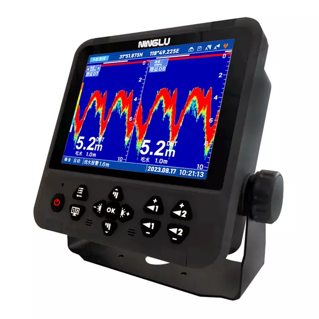
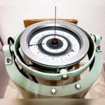
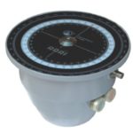
Echosounder
Sale!
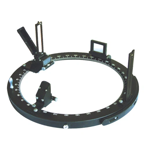
Gyro Repeater
Sale!

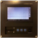
Course Recorder
Sale!
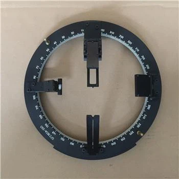
Gyro Repeater
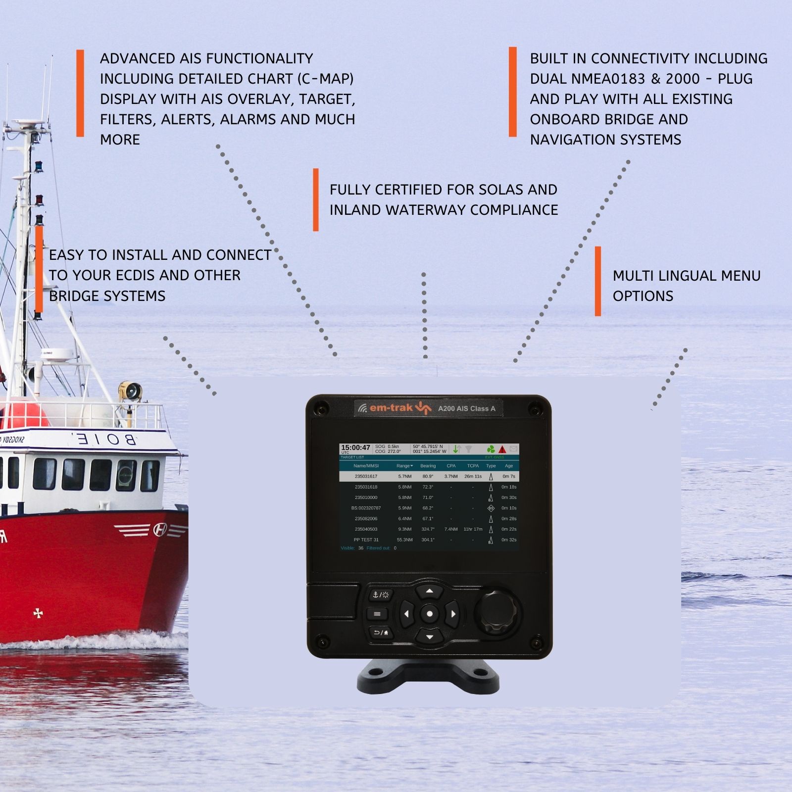
ECDIS (Electronic Chart Display and Information System) is a crucial navigation tool used on ships and vessels to display electronic navigational charts (ENCs) and integrate navigational information for safe and efficient voyage planning and execution. Below are some frequently asked questions (FAQs) about ECDIS:
| Question | Answer |
|---|---|
| What is ECDIS? | ECDIS stands for Electronic Chart Display and Information System. It is a computer-based navigation system that integrates electronic navigational charts (ENCs) and other navigational data for safe maritime navigation. |
| How does ECDIS work? | ECDIS works by displaying electronic charts on a screen and overlaying ship’s position, route, and other navigation-related information. It provides real-time updates and alerts for safe navigation. |
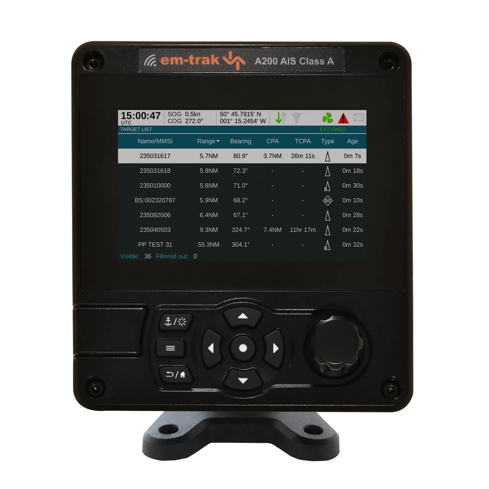
| What are the key features of ECDIS? | Key features include route planning, voyage optimization, integration with AIS (Automatic Identification System), radar overlay, alarms for navigation hazards, and automatic updates of navigational charts. |
| Why is ECDIS important for maritime navigation? | ECDIS enhances situational awareness, reduces navigational risks, improves voyage planning accuracy, and aids in compliance with international maritime regulations regarding the use of electronic charts. |
| Can ECDIS be used as a primary means of navigation? | Yes, ECDIS can be used as a primary means of navigation when installed and maintained in accordance with IMO (International Maritime Organization) guidelines, providing it meets performance standards and backup arrangements are in place. |
| What are the types of electronic charts used in ECDIS? | ECDIS uses electronic navigational charts (ENCs) and raster charts. ENCs are vector charts that contain navigational information, while raster charts are scanned copies of paper charts. |
| Is ECDIS user-friendly? | Modern ECDIS System are designed to be user-friendly, with intuitive interfaces, touch-screen capabilities, and features that simplify navigation tasks such as route planning and chart management. |
| What training is required to operate ECDIS? | Operators must undergo ECDIS training to understand system functionalities, interpretation of electronic charts, use of navigational tools, and procedures for safe navigation in compliance with regulations. |
| Are there regulations governing the use of ECDIS? | Yes, IMO regulations (SOLAS Chapter V) mandate the use of ECDIS on certain vessels and specify requirements for ECDIS equipment, training, and operational procedures to ensure safe navigation practices. |
| How has ECDIS technology evolved over time? | Advancements in ECDIS technology have led to improved accuracy, reliability, integration with other onboard System, and compliance with updated international standards, enhancing its effectiveness in maritime navigation. |
ECDIS technology revolutionizes maritime navigation by providing accurate, real-time navigational information and enhancing situational awareness onboard ships and vessels. By leveraging electronic chart displays and integrated navigational data, ECDIS System contribute to safer, more efficient voyages, ensuring compliance with maritime regulations and mitigating navigational risks.
Echosounder
Gyro Repeater
Course Recorder
Gyro Repeater
Sale!
Sale!
Sale!
Sale!