Sale!
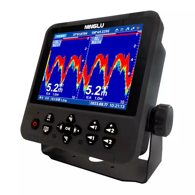
Echosounder
Sale!
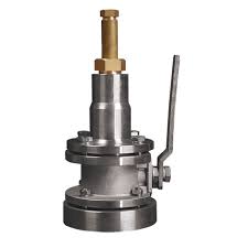
Gyro Repeater
Sale!

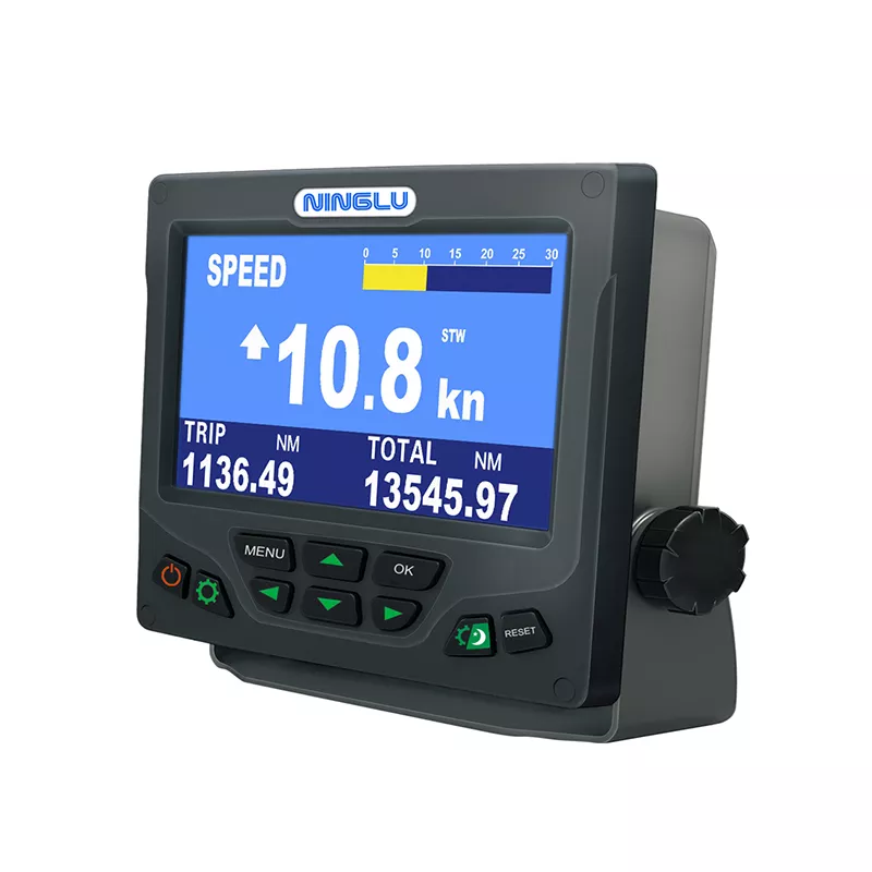
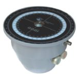
Course Recorder
Sale!
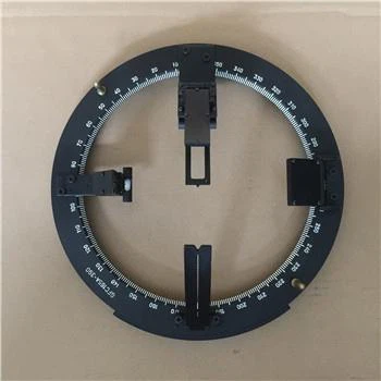
Gyro Repeater

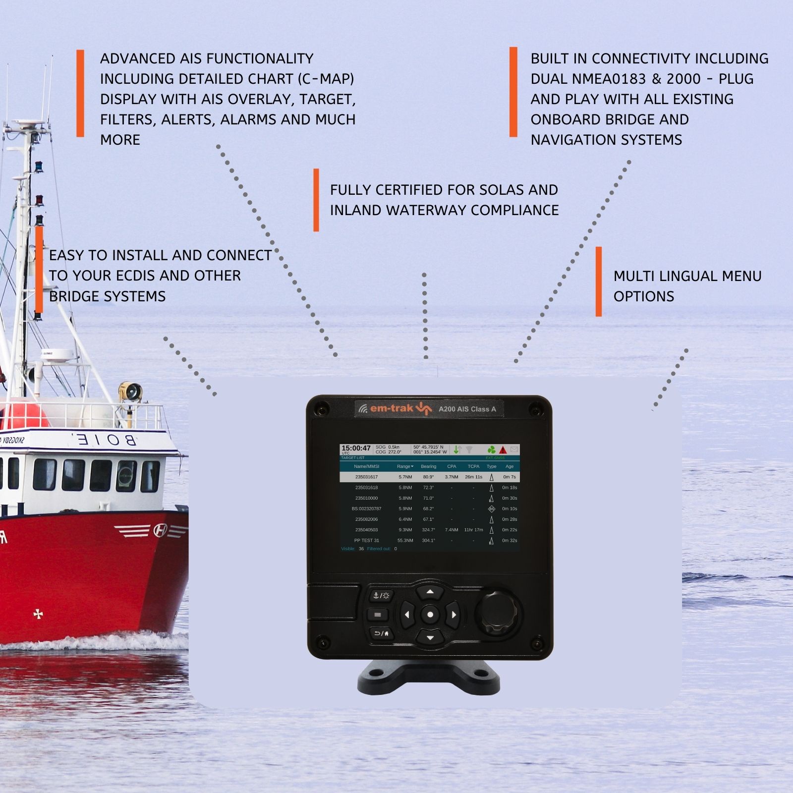
DGPS (Differential Global Positioning System) is an enhanced version of GPS that provides improved accuracy by correcting GPS signals for various sources of error. Below are some frequently asked questions (FAQs) about DGPS:
| Question | Answer |
|---|---|
| What is DGPS? | DGPS stands for Differential Global Positioning System. It is an augmentation system that improves the accuracy of standard GPS positioning by correcting GPS signal errors caused by atmospheric conditions and other factors. |
| How does DGPS work? | DGPS works by receiving GPS signals from satellites and comparing them with ground-based reference station measurements. It calculates corrections to the GPS signals, which are then broadcast to DGPS-enabled receivers to enhance positional accuracy. |
| What are the key benefits of DGPS? | Key benefits include increased positional accuracy (up to several meters), improved reliability in challenging environments (e.g., urban canyons, dense foliage), enhanced safety for maritime navigation, and support for precise applications (e.g., surveying, mapping). |
| Is DGPS more accurate than GPS? | Yes, DGPS provides higher accuracy compared to standard GPS. While GPS typically offers accuracy within several meters, DGPS can achieve accuracies of one meter or better, depending on the quality of the correction signals and receiver. |
| Who uses DGPS? | DGPS is used by various industries and applications, including maritime navigation, aviation, surveying, agriculture, and scientific research, where precise positioning is critical. |
| What information does DGPS provide? | DGPS provides accurate latitude, longitude, and altitude coordinates, along with precise time synchronization, essential for navigation, mapping, and other location-based services. |
| Can DGPS be used for marine navigation? | Yes, DGPS is widely used in maritime navigation to improve vessel positioning accuracy, enhance safety, and support operations in congested or hazardous waters. |
| What equipment is required for DGPS? | DGPS requires a DGPS receiver, which can be integrated into navigation System or as a standalone device, and access to correction signals from DGPS reference stations or satellite-based augmentation System (SBAS). |
| Are there different types of DGPS System? | Yes, DGPS System vary in complexity and coverage. Some use terrestrial reference stations to broadcast correction signals over radio frequencies, while others utilize satellite-based augmentation System (SBAS) such as WAAS, EGNOS, or MSAS. |
| How reliable is DGPS? | DGPS offers high reliability with continuous correction signals that enhance GPS accuracy in real-time. However, like GPS, DGPS performance can be affected by signal obstructions, atmospheric conditions, and system maintenance. |
| How has DGPS technology evolved? | Advancements in DGPS technology have led to improved receiver sensitivity, faster signal acquisition, broader coverage areas, and compatibility with multiple satellite navigation System, ensuring robust performance across diverse applications. |
DGPS technology significantly enhances the accuracy and reliability of GPS positioning, making it indispensable for precise navigation, mapping, and location-based applications across various industries. By leveraging DGPS capabilities, users benefit from enhanced positional accuracy, improved safety, and operational efficiency in both terrestrial and maritime environments.
Echosounder
Gyro Repeater
Course Recorder
Gyro Repeater
Sale!
Sale!
Sale!
Sale!